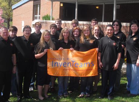
Greenbrier West High School InvenTeam
The Meadow River Wetlands, occupying 2400 acres in Greenbrier County, West Virginia, provide the largest pin oak wetland in the state. Although owned by the State as a Wildlife Management Area, the Meadow River Wetlands are relatively inaccessible and very little data exist regarding essential health parameters. Moisture level trends governing the extent of the wetlands are of particular importance to the West Virginia Department of Natural Resources (WVDNR). Moisture level sensors are widely available but effective use requires both careful placement (including underground orientation) and regular data collection, often in remote and inaccessible locations. Multi-spectral photography can also be used to discern wetland boundary extent, ideally in combination with sensor systems. A wetland assessment system providing both multi-spectral photography and an innovative moisture sensor placement and data retrieval capability is the primary objective of our InvenTeam project. The underlying theme of ecological health assessment for inaccessible wetland areas is a high priority across our Nation and the world.


